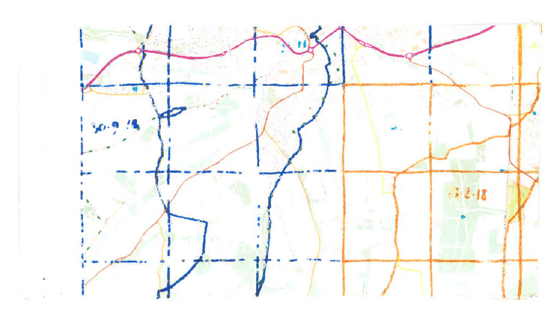
TL3110
The country south of Hertford is sprinkled with comfortable estates, often with names derived from the local villages: Bayfordbury, Brickendonbury, Haileybury, Wormleybury, Hertingfordbury, Hoddesdonbury, Broxbournebury. The shared suffix denotes a Saxon fortification, though the pattern is just a little too neat: perhaps some names have been moulded to fit. An academic strand also runs through. It was a common enough fate of country houses in the early twentieth century to be sold, or leased, to local institutions. Bayfordbury ended up in the hands of the University of Hertfordshire, and it is now a research campus in ecology and astronomy. But on the day I pass through, a Sunday at the end of September, the place is deserted and slightly oppressive. Signs instruct me to stay on the footpath at all times, but are less keen to explain where the footpath actually goes. I reach the old cedars beside the original house and make a dash for the exit along the main drive.
TL3310
Reflected across the railway line, Brickendonbury is also a place of scientific activity: the speciality of the Tun Abdul Razak Research Centre turns out to be rubber. But the public footpaths avoid the house, and last month I walked the opposite edge of the estate. I pass by the end of the mile-long Morgan's Walk without turning.
TL3211
The road passes under an old railway bridge, but the railway is long ripped up, before even Dr. Beeching's watch. The Victorian railways followed the easier route of the Vale of St Albans, the pre-Ice Age Thames whose course runs east to Ware, west to Welwyn. But the axis of the town shifted in the 1920s when a north-south railway was opened through Hertford, which ignored the gentle topography of the Lea Valley. The Hertford, Luton & Dunstable withered, and Hertingfordbury station is now a private home encircled by bridleways.
